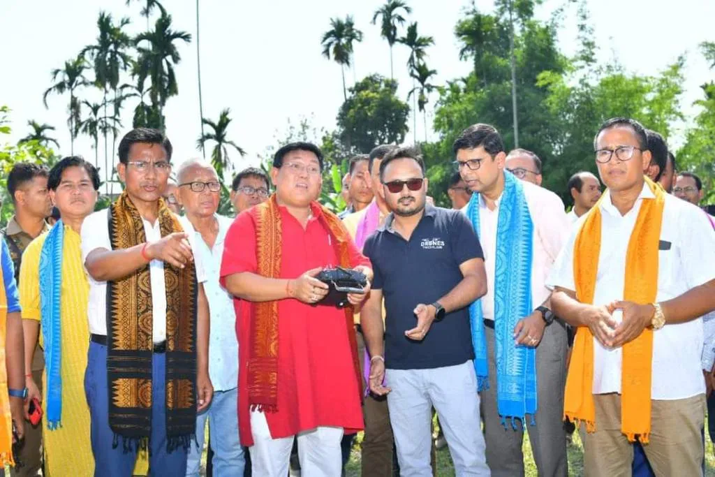
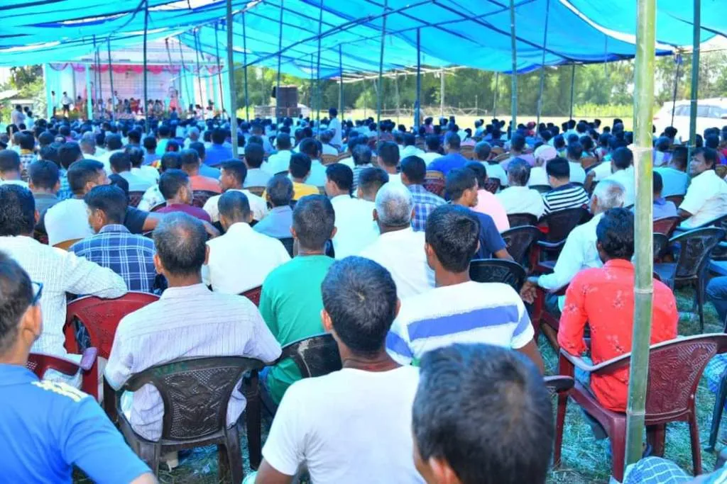
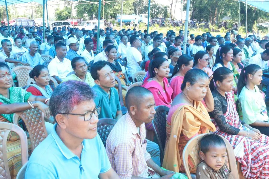
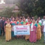
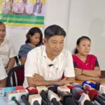
KOKRAJHAR,MAY 13: Stepping to render welfare services among the citizens in BTR, the ceremonially Launch of the “Survey/Re-Survey Programme covering Revenue Villages of Bodoland Territorial Region (BTR)”, using Drone & Modern Survey Techniques was held at a programme held at Runikhata, Chirang district today.
The programme was conducted through funding by the department of Land Resources, Government of India, which is expected to extend greatly enhance the mapping of revenue villages in Bodoland region.
Chief executive member of Bodoland Territorial Region, Pramod Boro ceremonially launched the Survey/Re-survey programme in the august presence of BTR executive members Ranjit Basumatary, Wilson Hasda,Sidli LAC MLA, Jayonta Basumatary, MCLAs, Saikhong Basumatary, Madhab Chandra Chetry,UPPL leaders from Chirang district.
Boro has lauded the department of land resource, government of India for initiating the initiative while mapping the revenue villages in Bodoland region.
He has expressed his hopeful that the program will enable the department to implement the various welfare & developmental initiatives of the BTR government more ushering & effectively in days to come.
” It is a glad moment to launch the “Survey/Re-Survey Programme covering Revenue Villages of BTR”, using Drone & Modern Survey Techniques at Runikhata, Chirang today. Being conducted through funding by the Dept of Land Resource, Govt of India, the Survey Programme will greatly enhance the mapping of revenue villages in BTR. This will enable us to implement the various welfare & developmental initiatives of our Govt more efficiently & effectively”, Boro added.
BTR executive member Ranjit Basumatary said that the Land Resources department, government of India has funded the programme to make mapping of the revenue villages in Bodoland region.He informed that the mapping job has started from today along the revenue villages by using drone or modern techniques.
